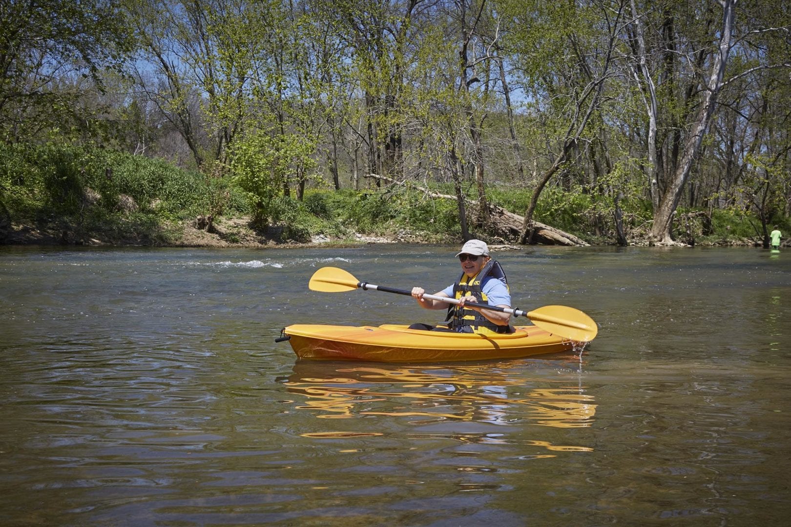
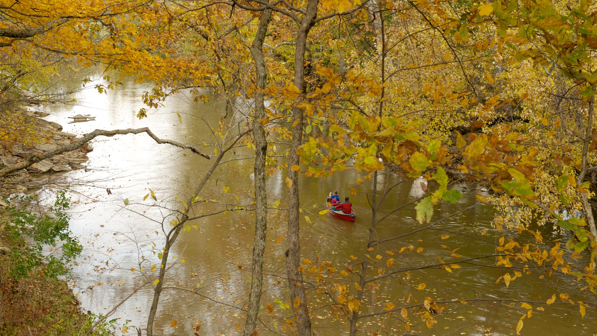
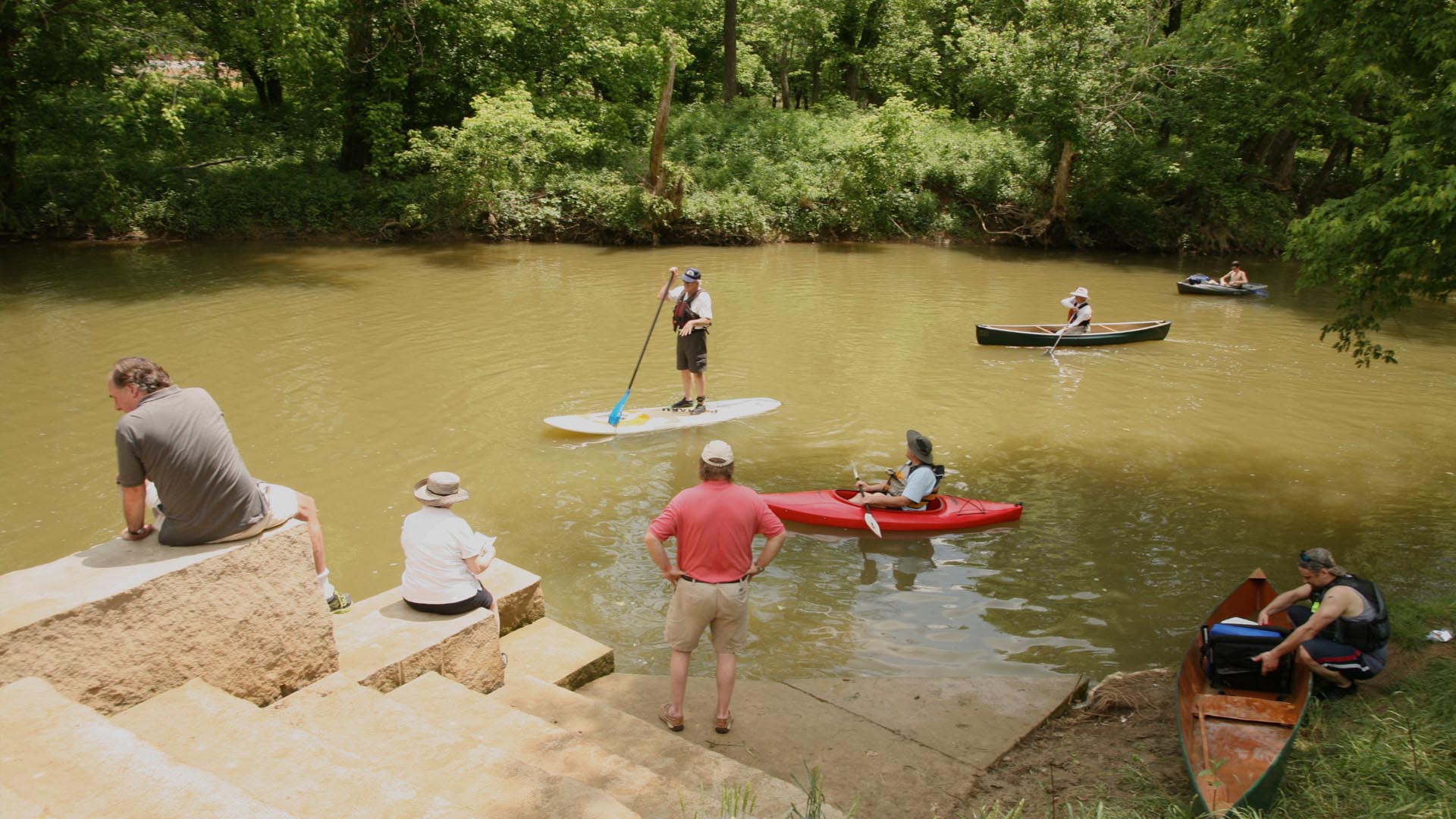
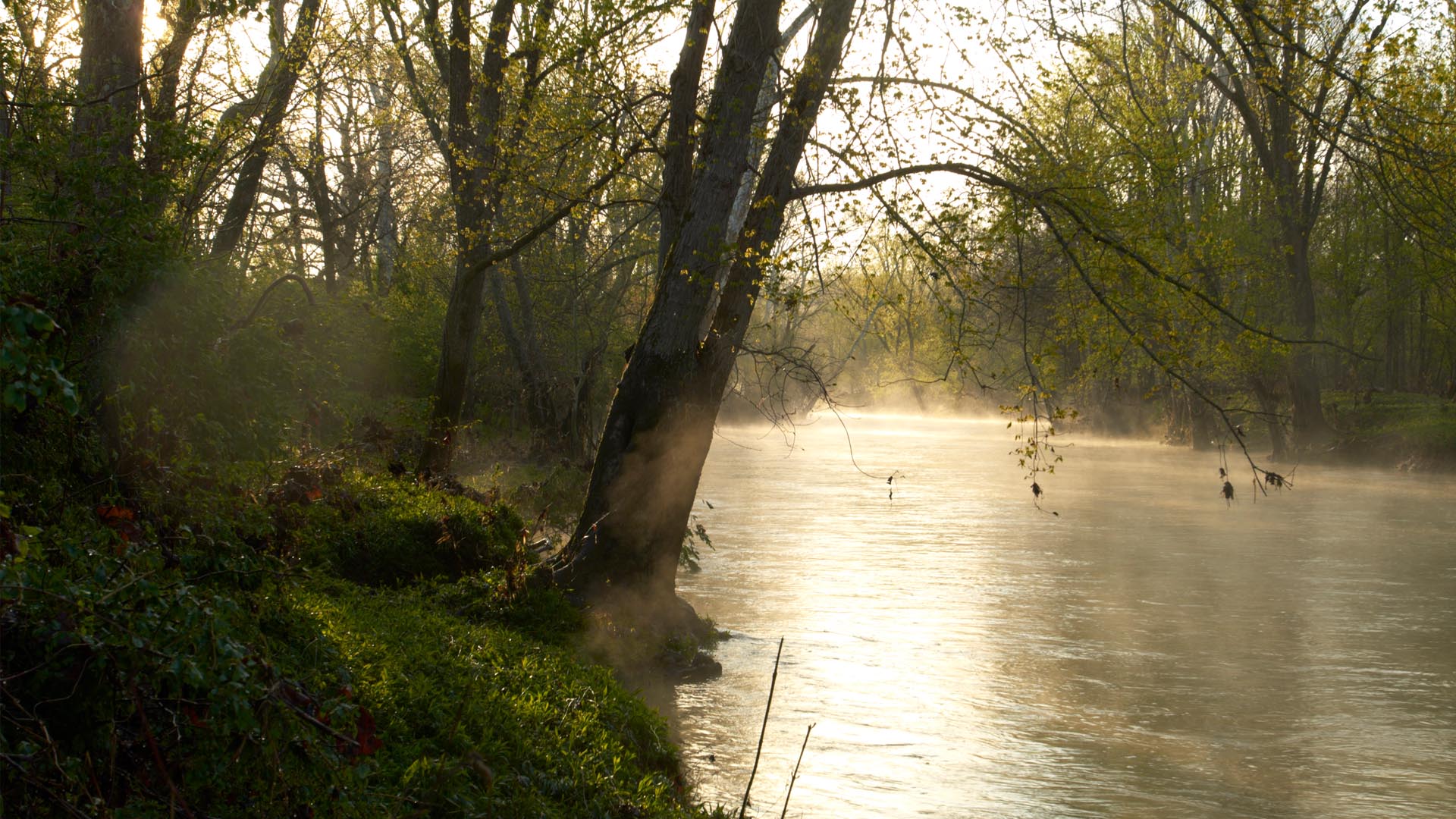
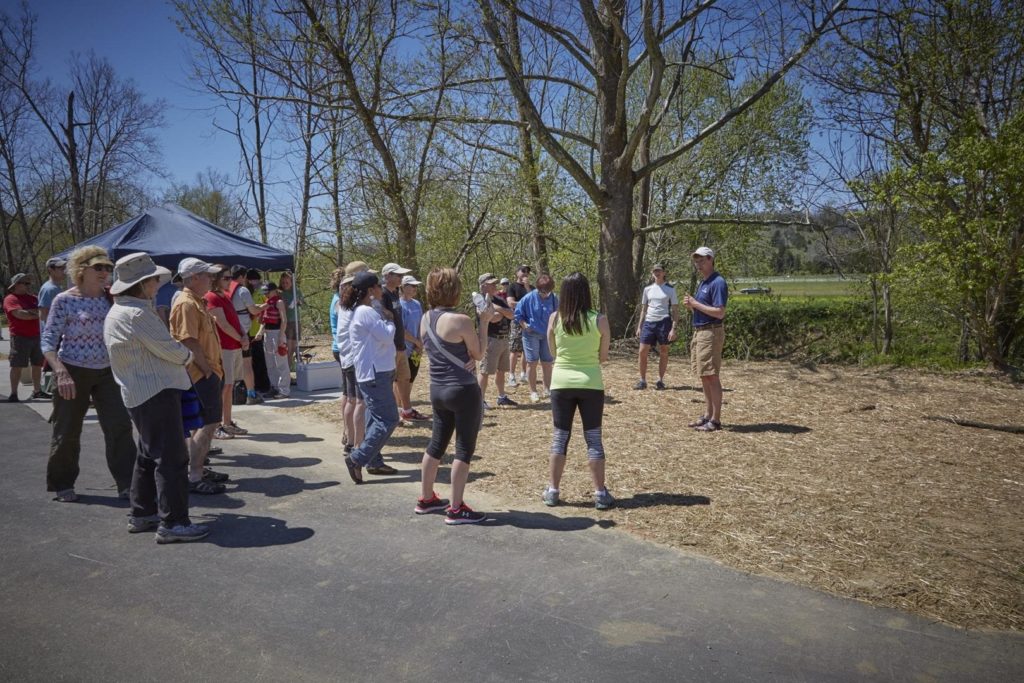
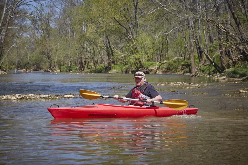
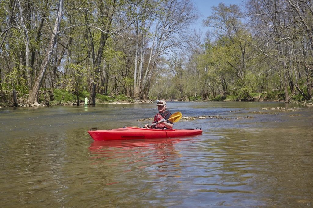
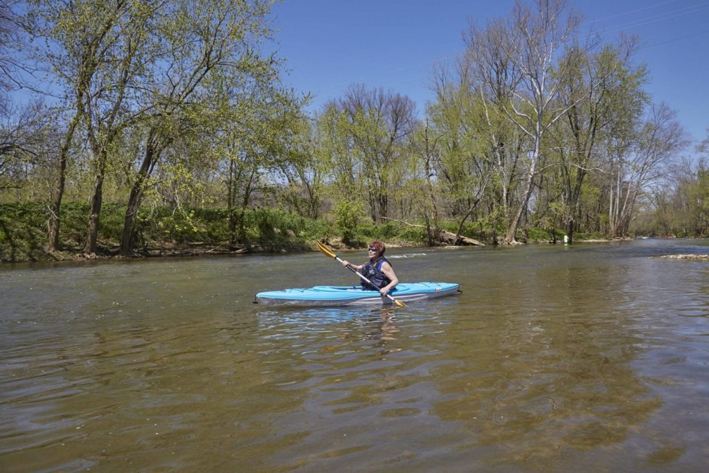
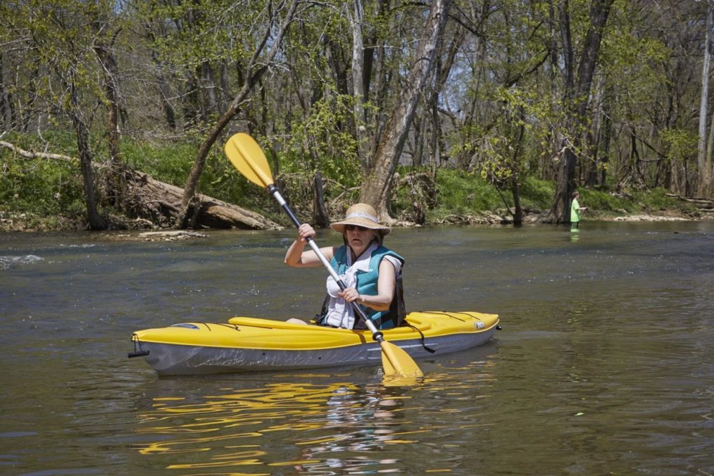
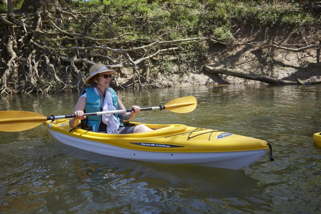
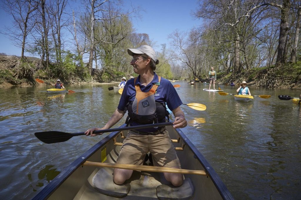
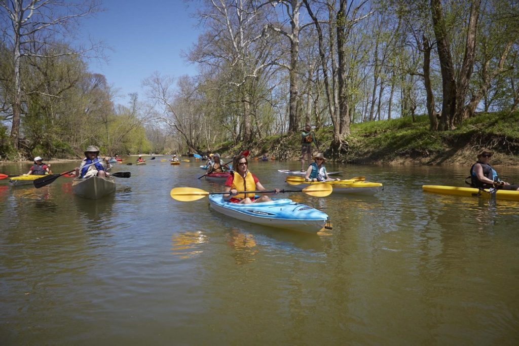
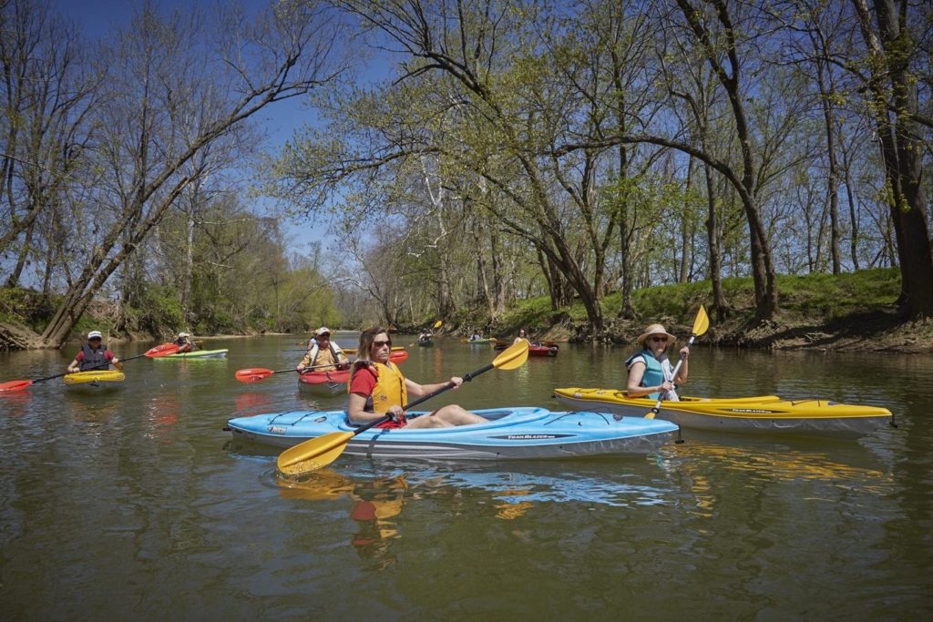
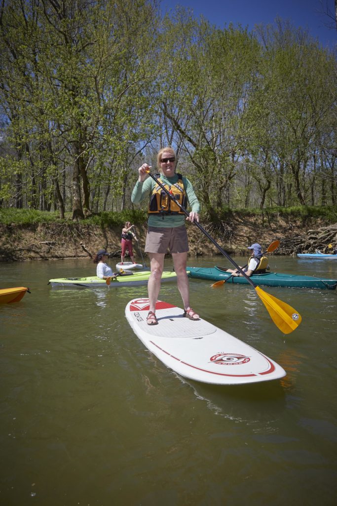
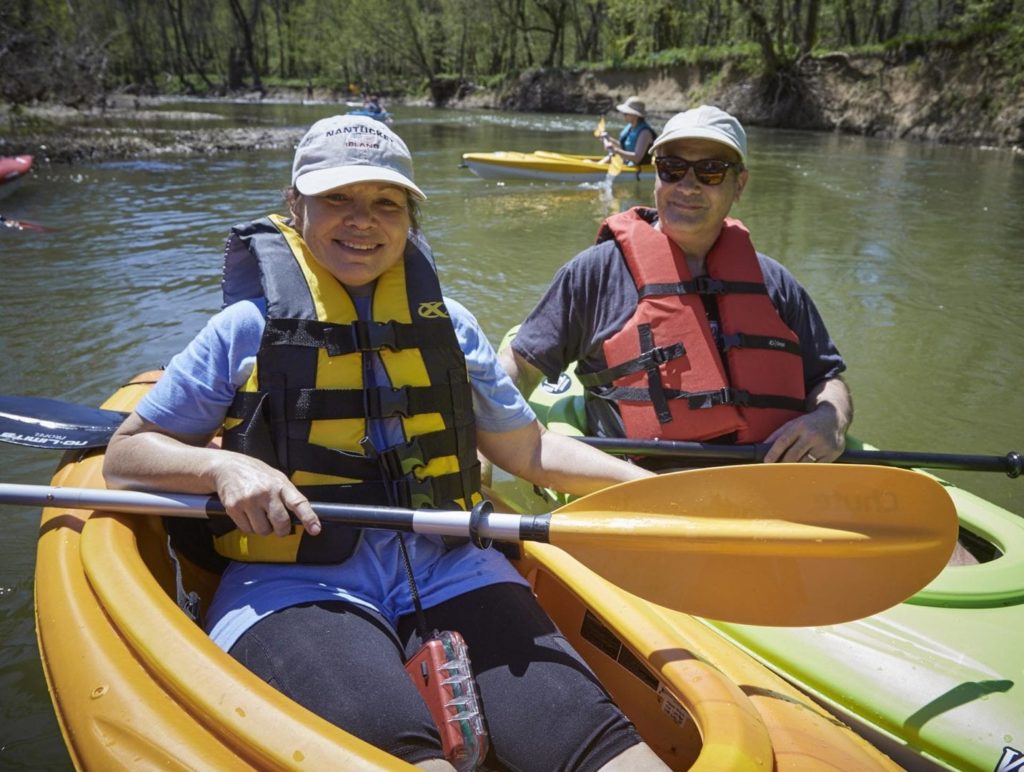
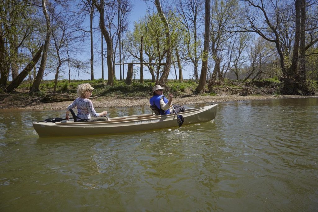
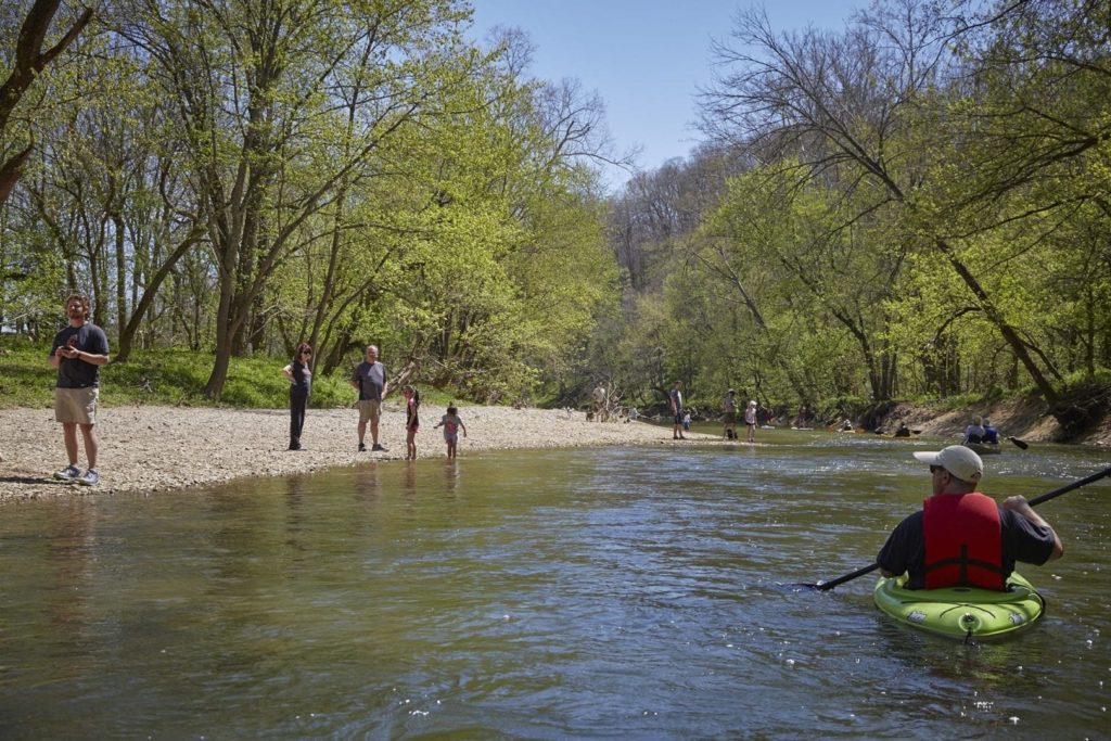
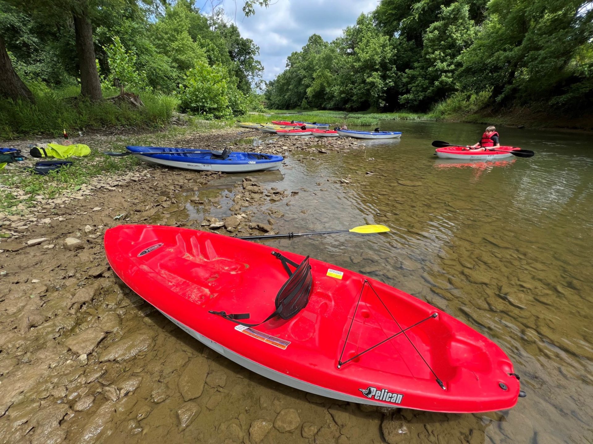
Paddling

Take me to the river.

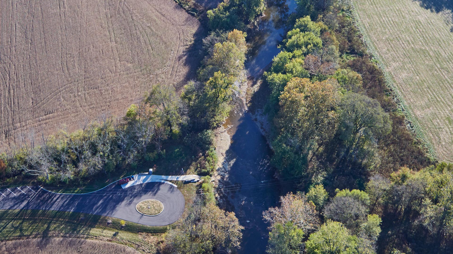
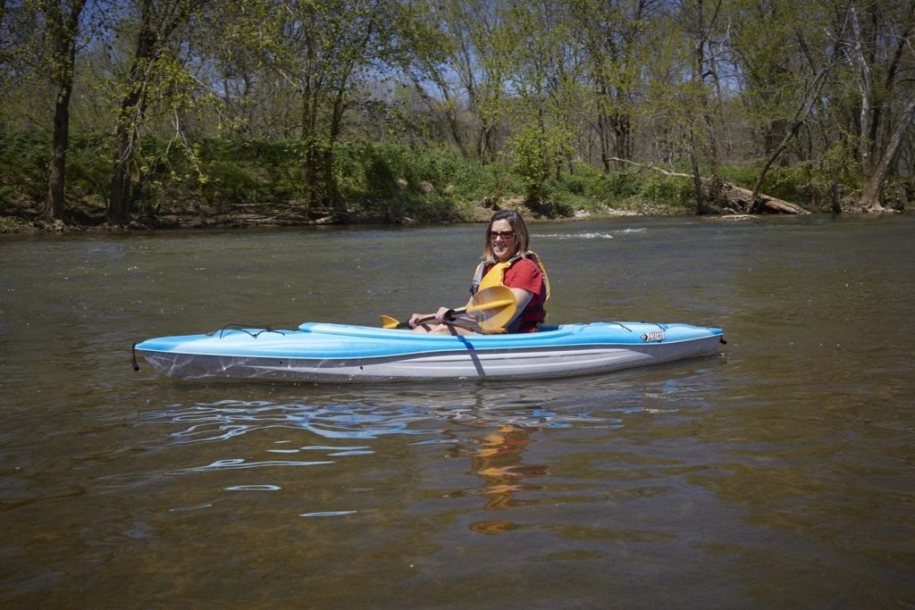
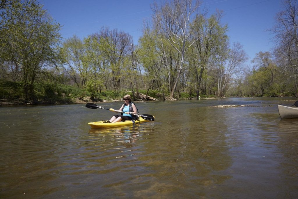
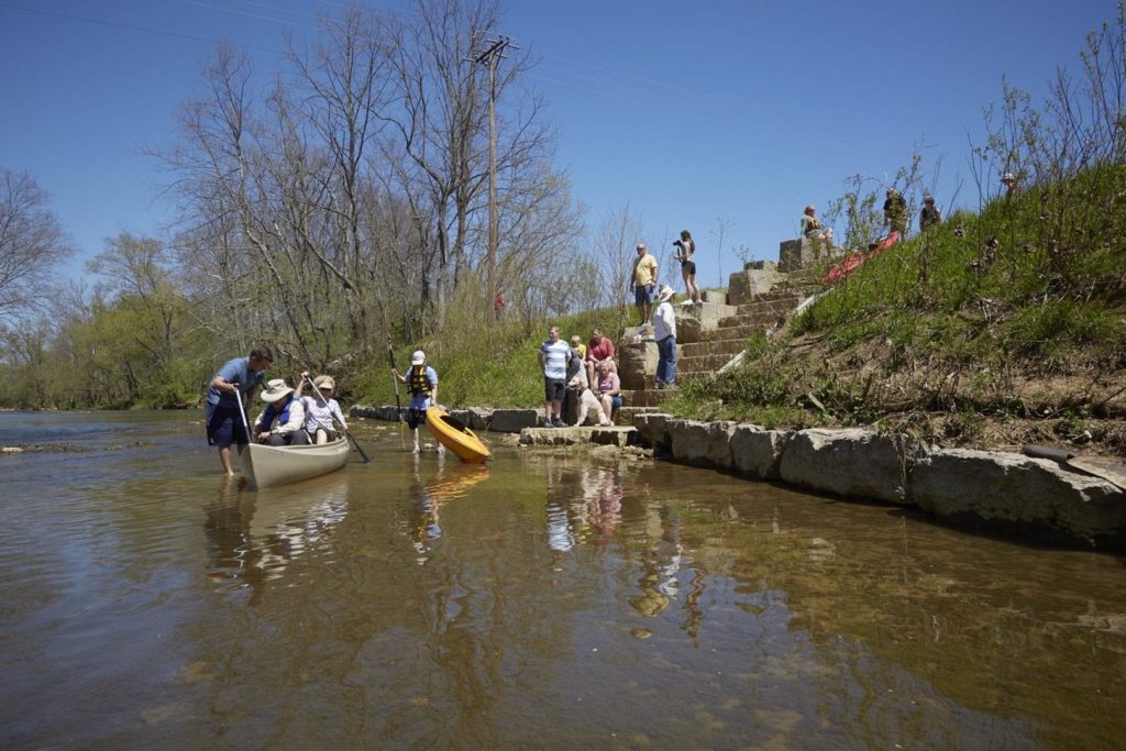
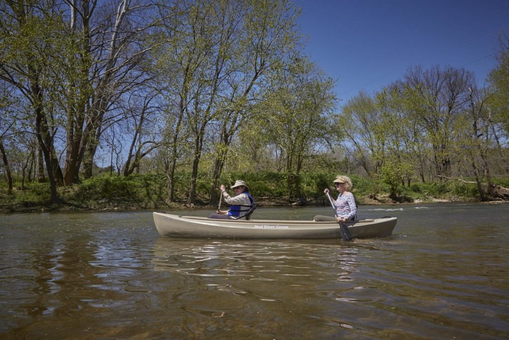
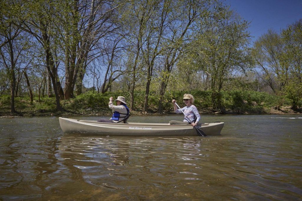
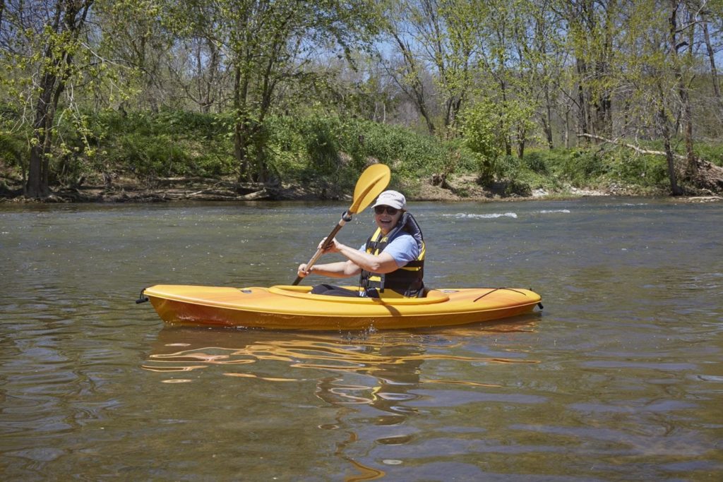
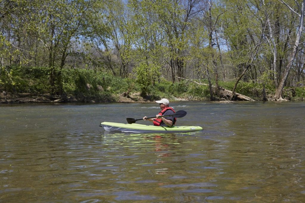
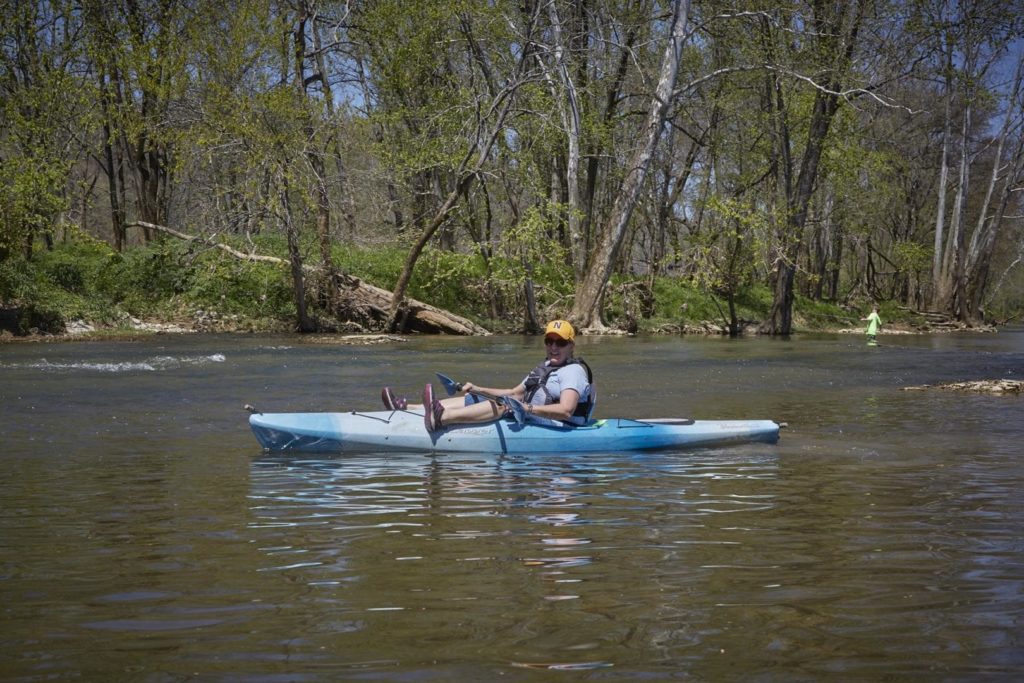
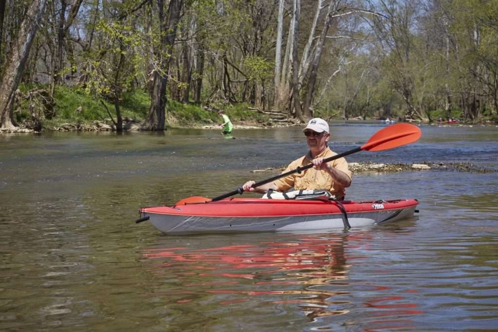
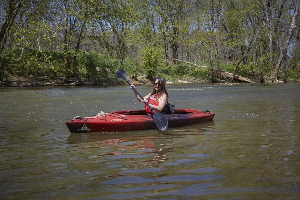
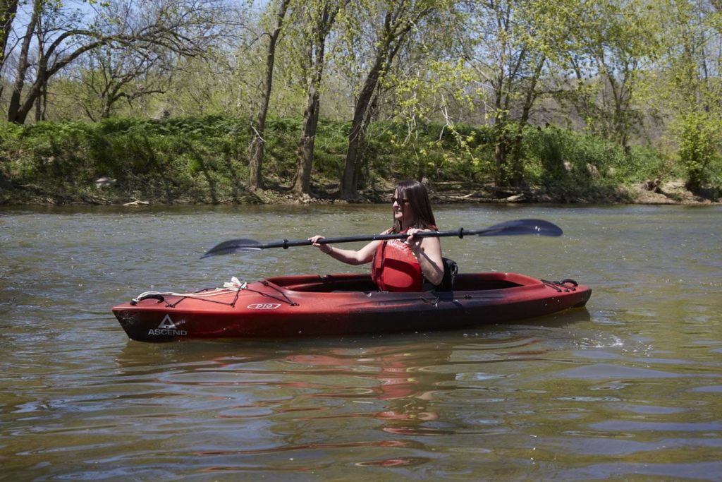
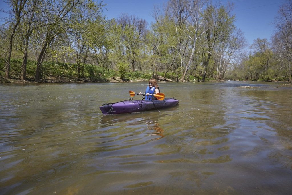
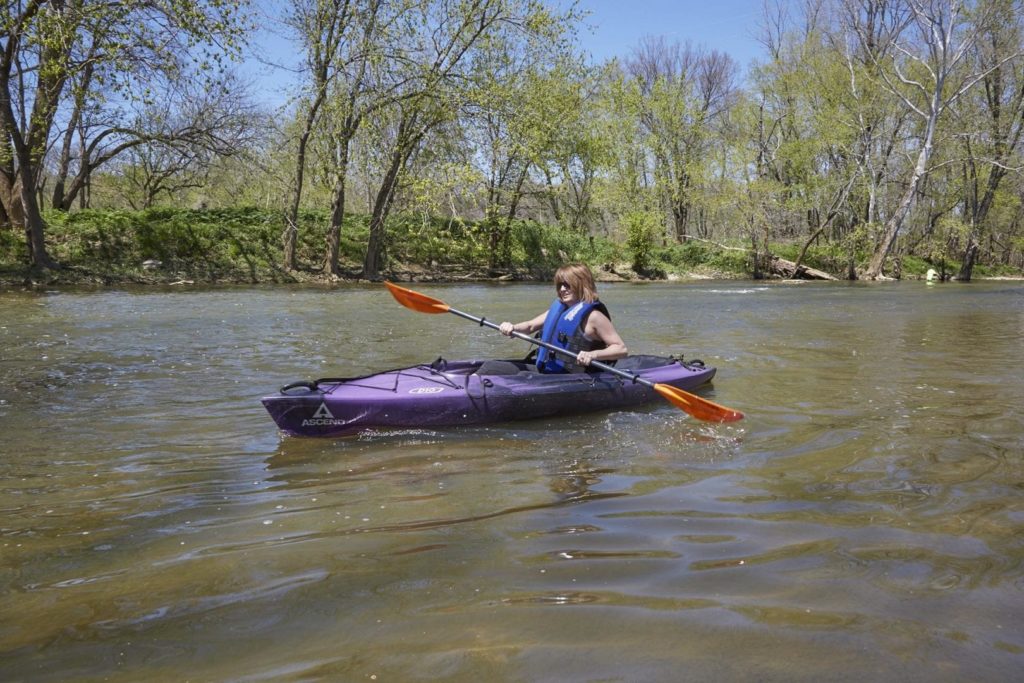
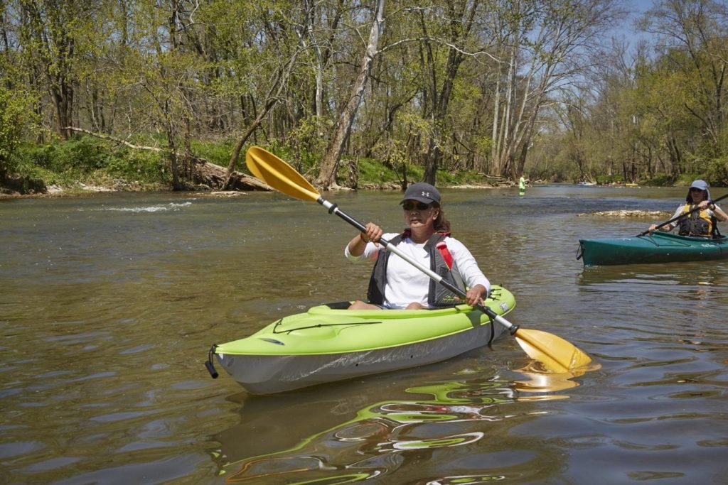
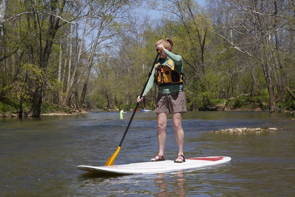
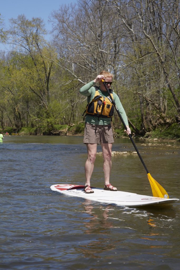
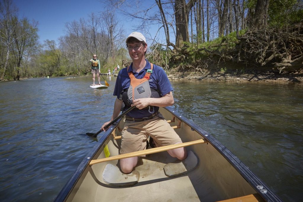
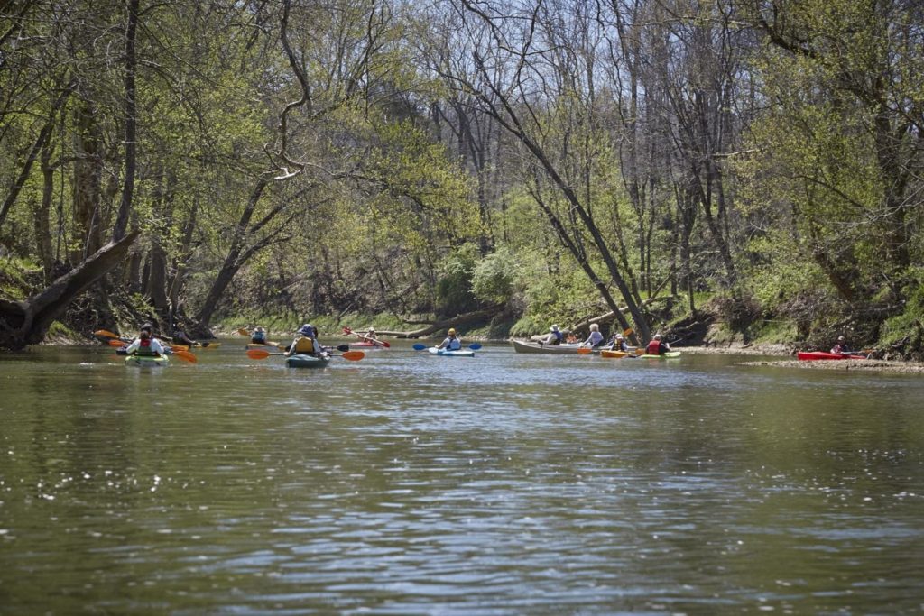
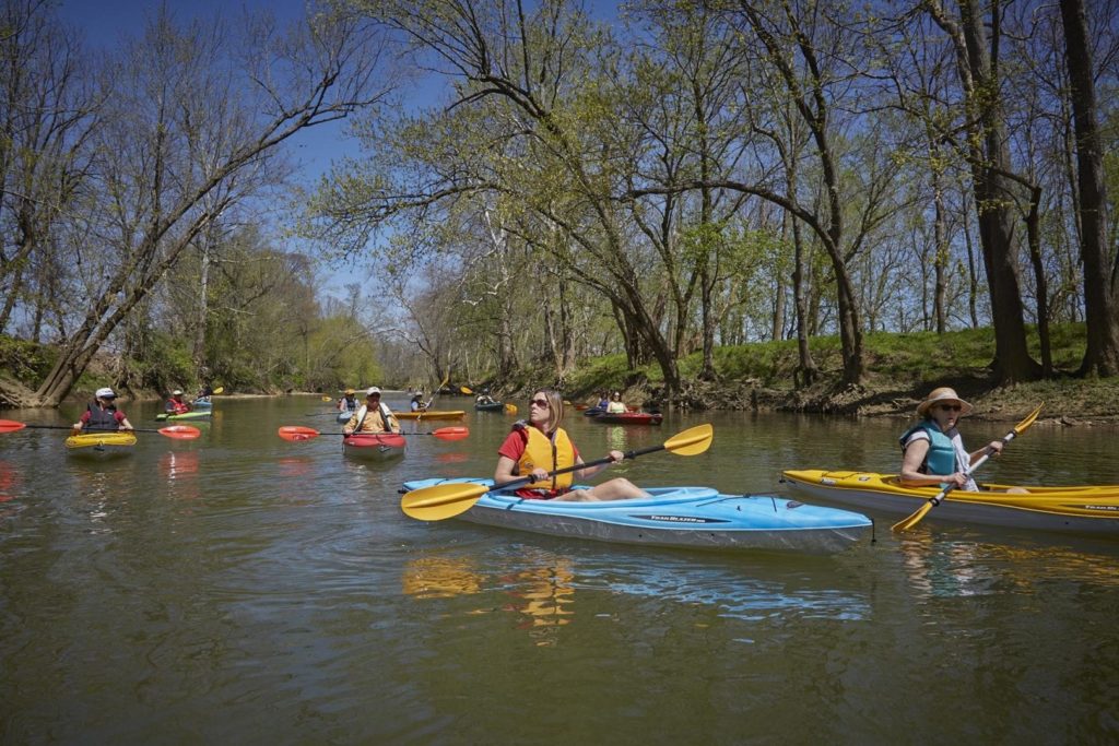
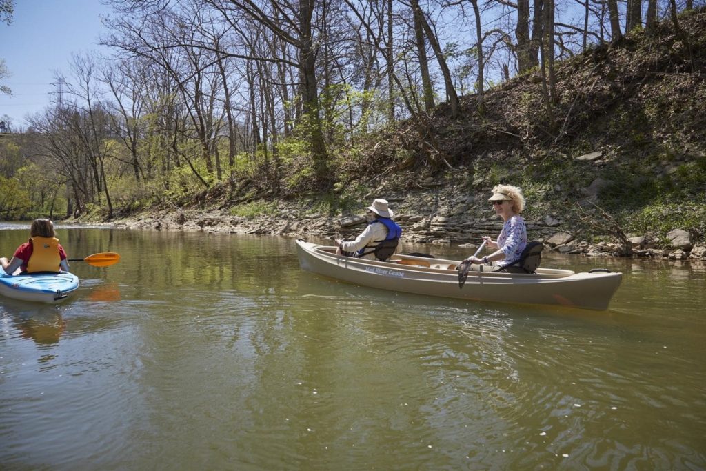
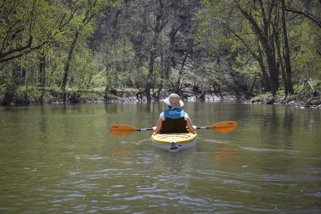
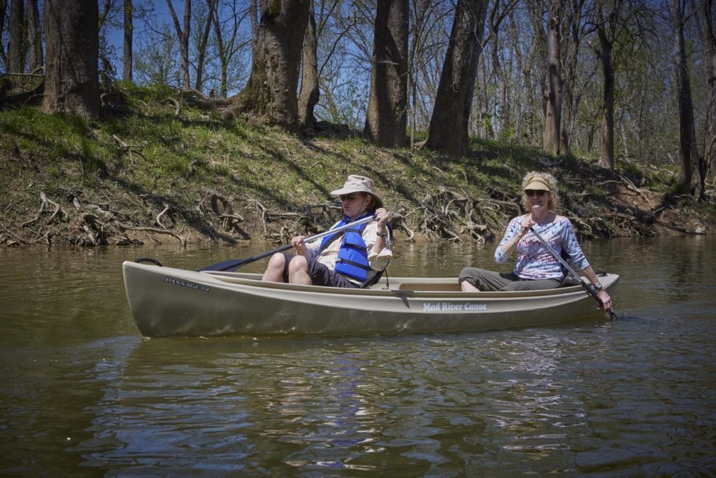
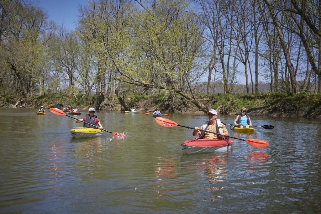
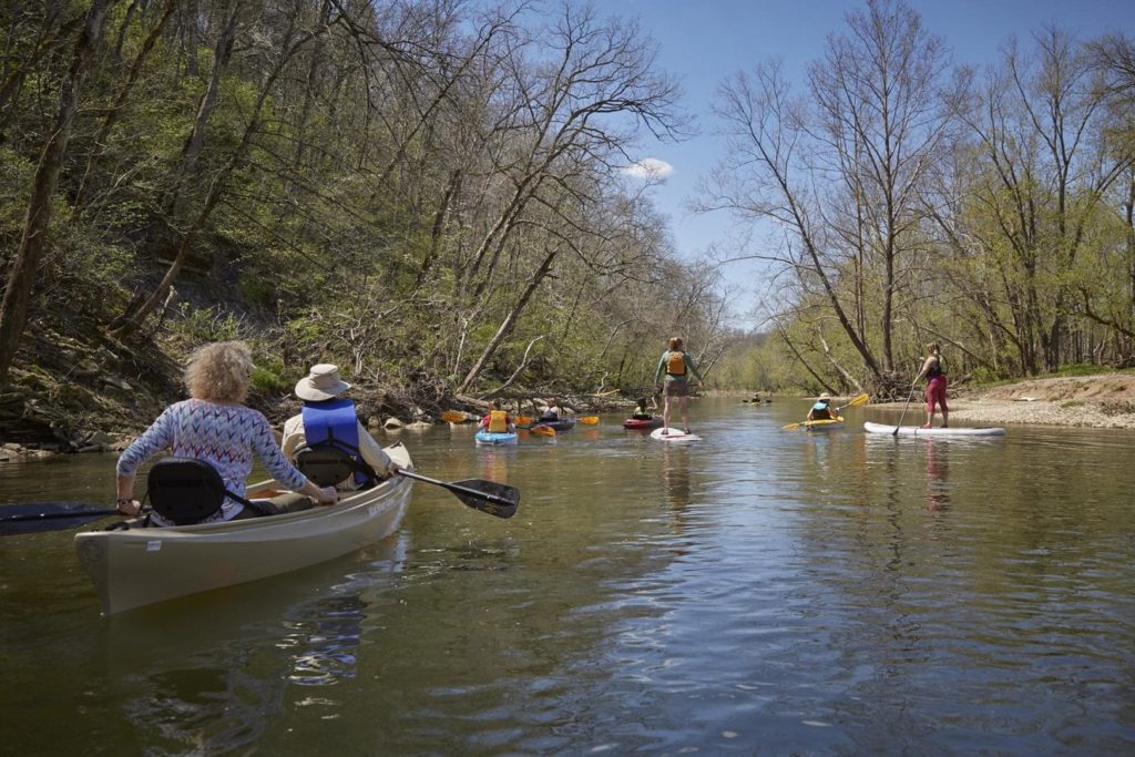
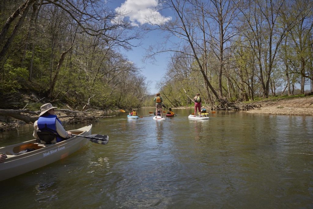
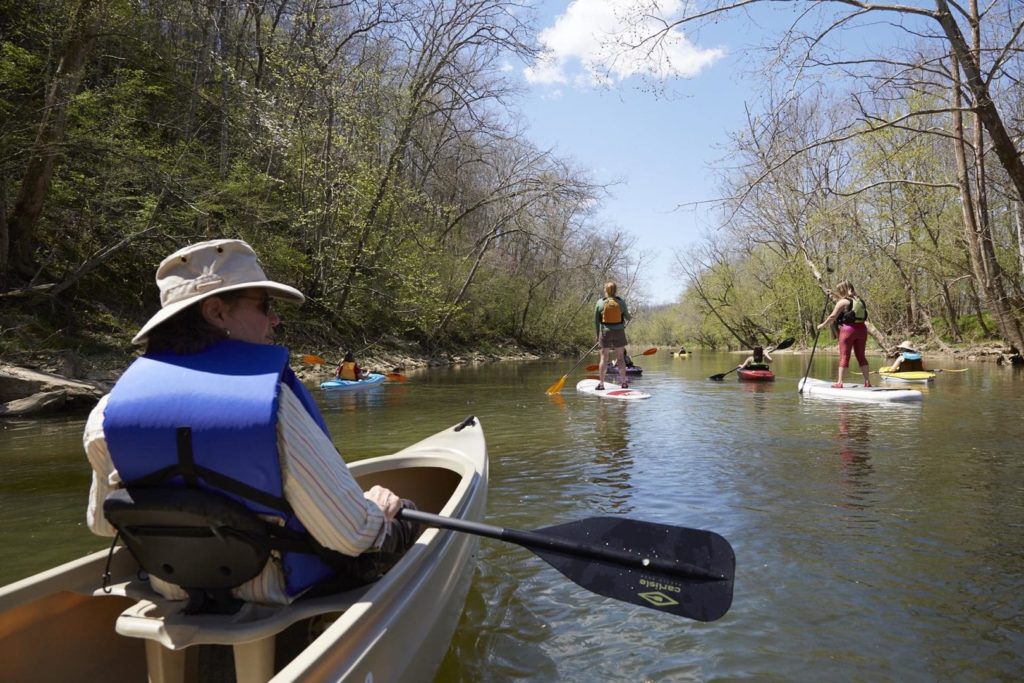
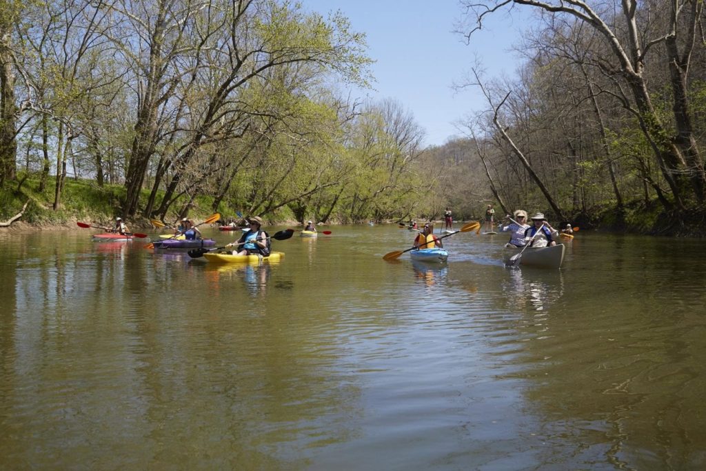
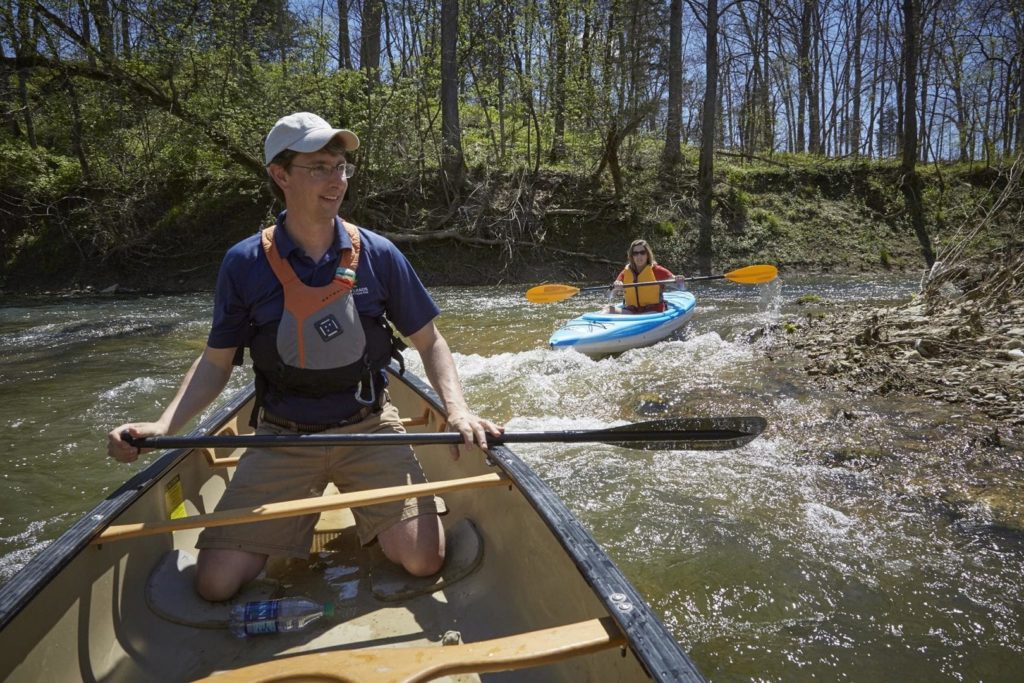
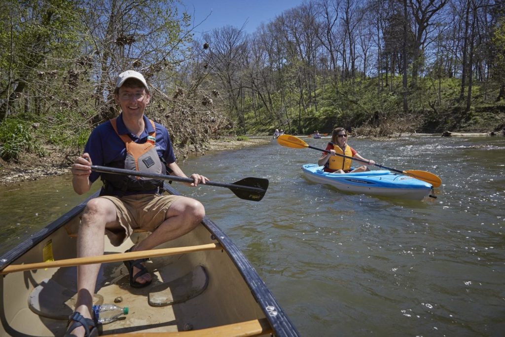
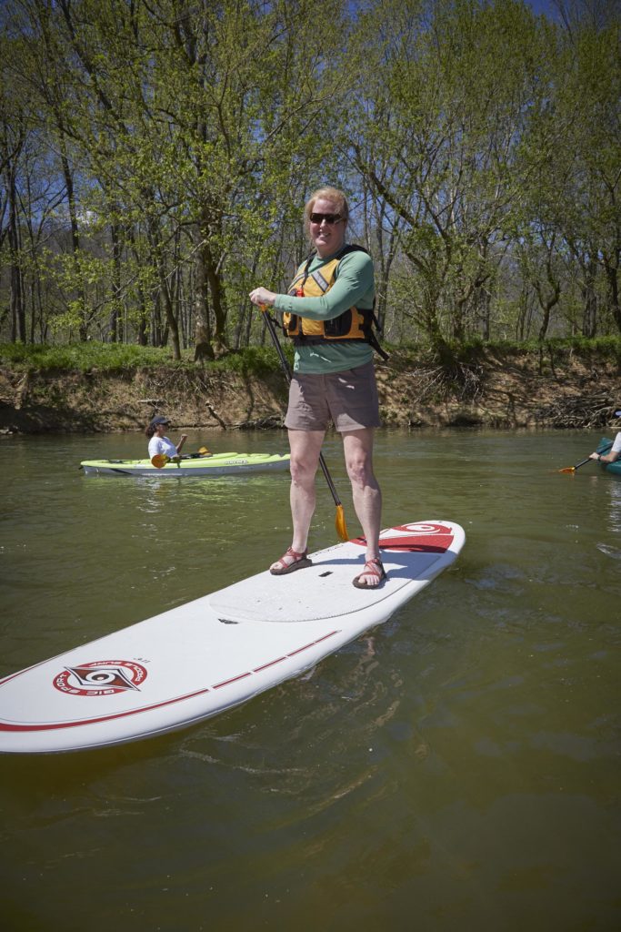
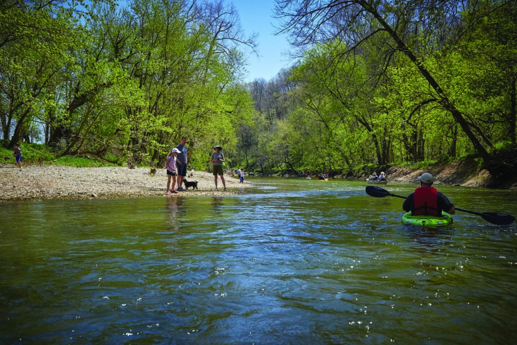
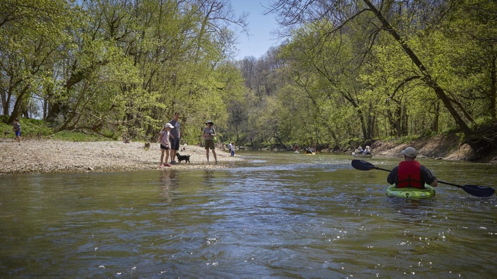
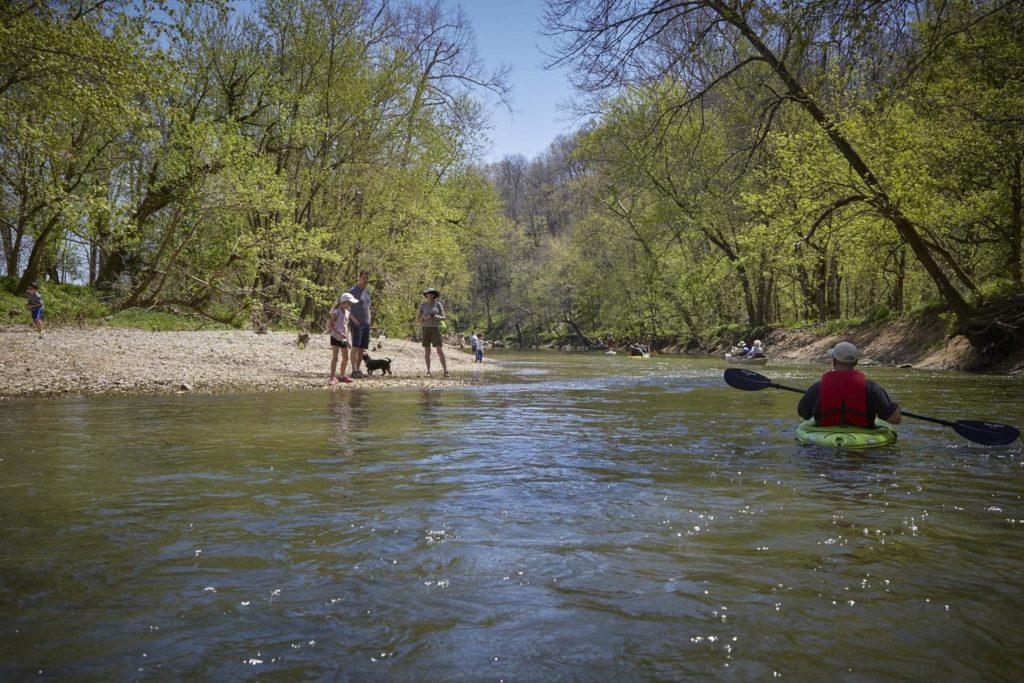
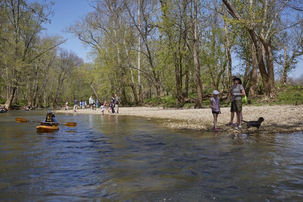
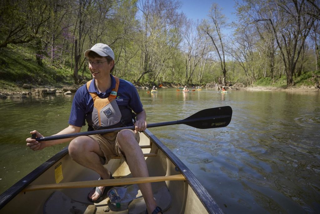
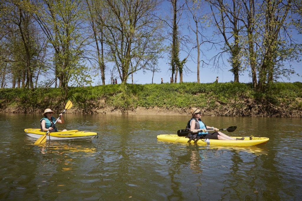
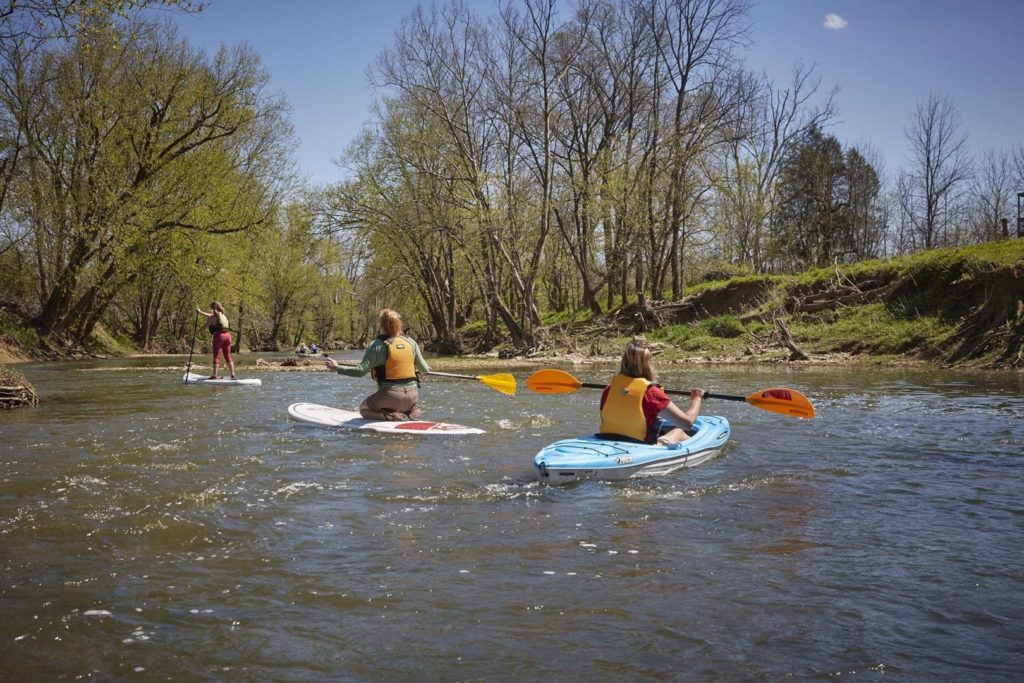
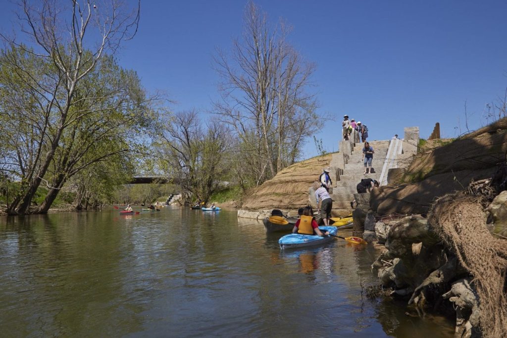
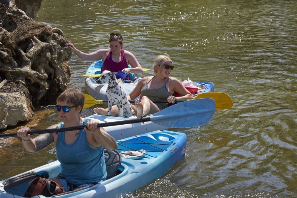
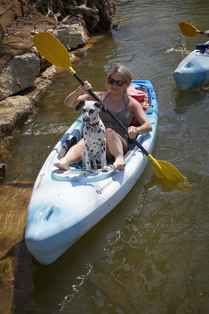
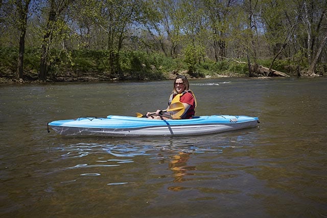
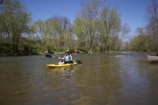
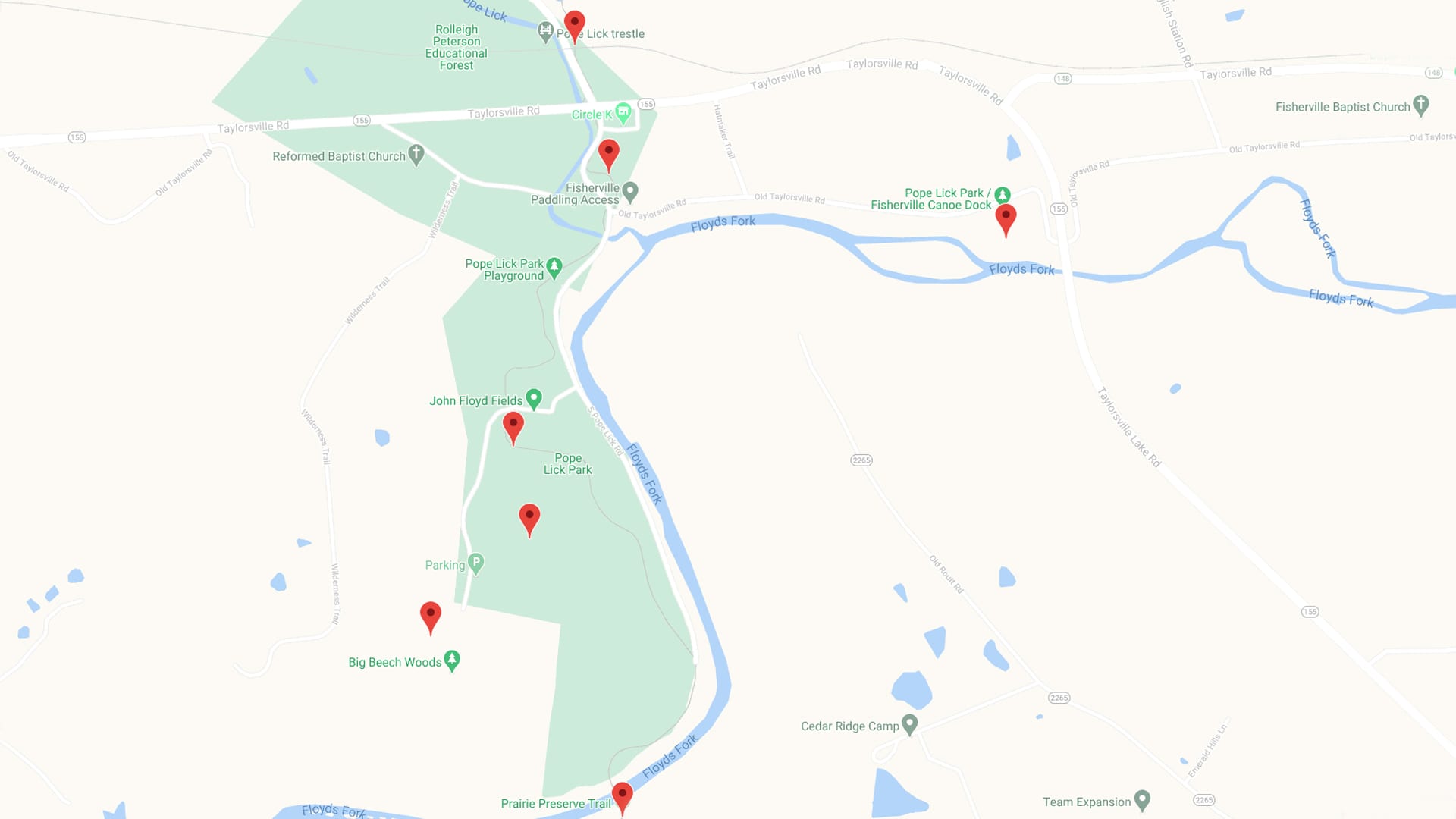
Winding through upland meadows and farm fields and bottomland forests, Floyds Fork empties into the Salt River, which flows another 25 miles until it drains into the Ohio River. Located along Floyds Fork between Shelbyville Road and Bardstown Road, The Parklands offers some of the best paddling access in the area. When paddling on Floyds Fork, please use marked landings only. Do not take out on private property.

Go with the flow.

The Parklands will be protected in perpetuity for future generations, with much of its lands remaining undeveloped and wild — including miles of restored wetlands and stream banks. Paddling is one of the best ways to explore this river ecosystem, and you can access the creek from seven designated points throughout The Parklands. See the top right-hand corner of the page for CFS real-time creek flow, or visit the American Whitewater guide to streams and water levels for more information. Learn more about each paddling access below.

Paddling Access

    • Fishing
    • Paddling
    • 2 Mi
    • 1 Hr
    Fishing Spot, Floyds Fork, Paddling Access

    North Beckley Paddling Access to Creekside

    Beckley Creek Park

    • Fishing
    • Paddling
    • 4.4 Mi
    • 2.25 Hr
    Fishing Spot, Floyds Fork, Paddling Access

    Creekside Paddling Access to Fisherville

    Beckley Creek Park, Pope Lick Park

    • Fishing
    • Paddling
    • 4.3 Mi
    • 2 Hr
    Fishing Spot, Floyds Fork, Paddling Access

    Fisherville Paddling Access to Cane Run

    Pope Lick Park, The Strand

    • Fishing
    • Paddling
    • 3 Mi
    • 1.25 Hr
    Fishing Spot, Floyds Fork, Paddling Access

    Cane Run Paddling Access to Seaton Valley

    The Strand, Turkey Run Park

    • Fishing
    • Paddling
    • 3.5 Mi
    • 1.5 Hr
    Fishing Spot, Floyds Fork, Paddling Access

    Seaton Valley Paddling Access to Broad Run Valley

    Broad Run Park, Turkey Run Park

    • Fishing
    • Paddling
    • 2.5 Mi
    • 1.25 Hr
    Fishing Spot, Floyds Fork, Paddling Access

    Broad Run Valley Paddling Access to Cliffside

    Broad Run Park

    • Biking
    • Fishing
    • Paddling
    • Walking
    Fishing Spot, Floyds Fork, Louisville Loop, Paddling Access

    Cliffside Paddling Access

    Broad Run Park

Paddling Resources

Download icon

Paddling Map with Route Information

Download icon

Route Descriptions

Download icon

Recommendations for a Great Paddling Experience

Download icon

Kentucky Afield Floyds Fork Guide North

Download icon

Kentucky Afield Floyds Fork Guide South

Events

There’s always something happening at The Parklands. Check out our upcoming events.

    • Learning
    • Paddling
    • Playing
    • Walking

    Parklands Outdoor Adventure Summer Camps: Grades K-6th

    Beckley Creek Park

    • Biking
    • Fishing
    • Learning
    • Paddling
    • Playing
    • Walking

    Parklands Outdoor Adventure Camp: Grades K-6th

    Beckley Creek Park

    • Biking
    • Fishing
    • Learning
    • Paddling
    • Playing
    • Walking

    Parklands Outdoor Adventure Camp: Grades 7-10th

    Pope Lick Park

Rise to the occasion.

There’s always something happening at The Parklands. Check out our upcoming events.

Compass Icon

Maps + Directions

Get on the beaten track.

Our park system is nearly five times as large as New York’s Central Park, so you may need some help finding your way around. Chart your course with our interactive map.